I never know when it arrives. There are timetables but still it’s always guessing how long I will have to wait.
See real-time schedules in Google Maps® App, it shows delays and alerts.
Really? I need to try!
Revolution in public transport.
Faster information for passengers in real time visible in Google Maps®.
SKIP
See how to build a smart CITY.
Choose a new way to develop your BUSINESS.
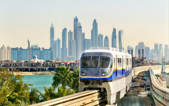
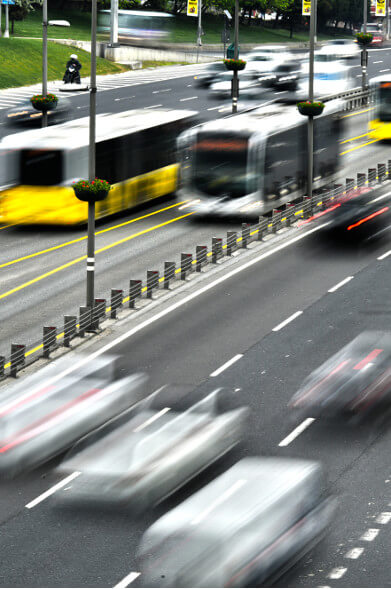
Car or public transport?
Future of public transport is information from all possible way of movement, available for passengers in real-time via Google Maps.
It is a new quality of traveling. Faster, cheaper with instant access to information. Passengers, tourists know and use Google Maps. Be also there and don’t change their habits.
Integrated Passenger Information System
Smart Schedules: quick, direct access to information for passengers
Increase number of both new and loyal passengers
An increase in revenues from tickets sold
Reduction of operating costs
Increase in the quality of service
Increased innovation and brand value
Partners.
Statistics.
> 1 000 000 000
Google Maps users
4.
position on most popular apps in the world is Google Maps
33% of people
checks how to get somewhere by smartphone
~ 100 000$
average cost to develop mobile app
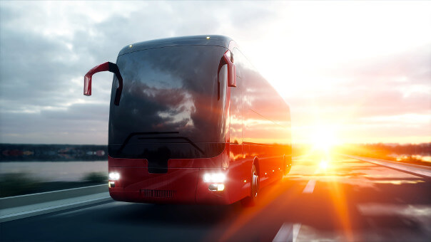
Why you choose car instead of public transport?
I never know when it arrives. There are timetables but still it’s always guessing how long I will have to wait.
See real-time schedules in Google Maps® App, it shows delays and alerts.
Really? I need to try!
Would you like to convince passengers to use public transport and increase ticket sales?
Join hundreds of cities and thousands of private transporters who have learned the solution by which passengers swapped their cars for public transport. Would you like to learn how?